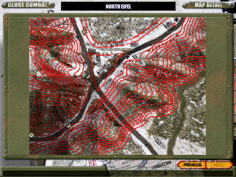
| North Eifel Contour ovm.png | ||
| Description: |
|
|
| Filesize: | 734.34 KB | |
| Viewed: | 10843 Time(s) | |
 |
||
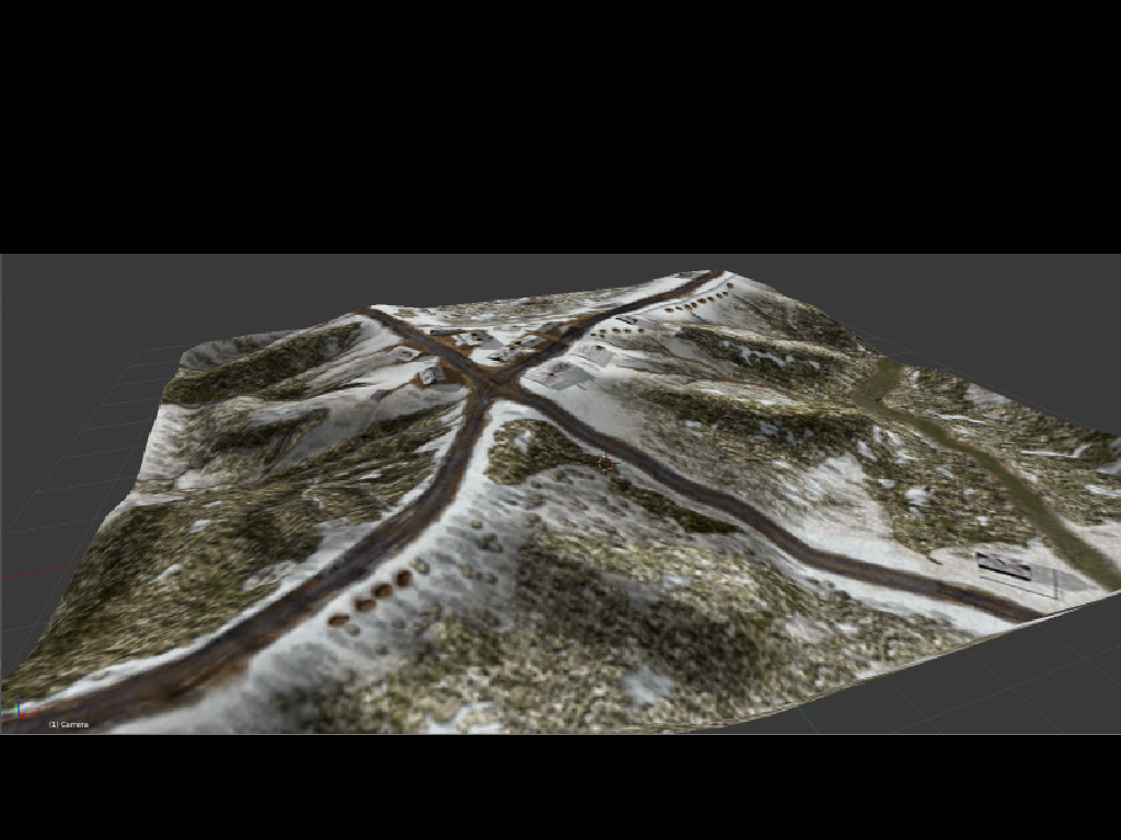
| 3d Eifel.png | ||
| Description: |
|
|
| Filesize: | 503.64 KB | |
| Viewed: | 10835 Time(s) | |
 |
||
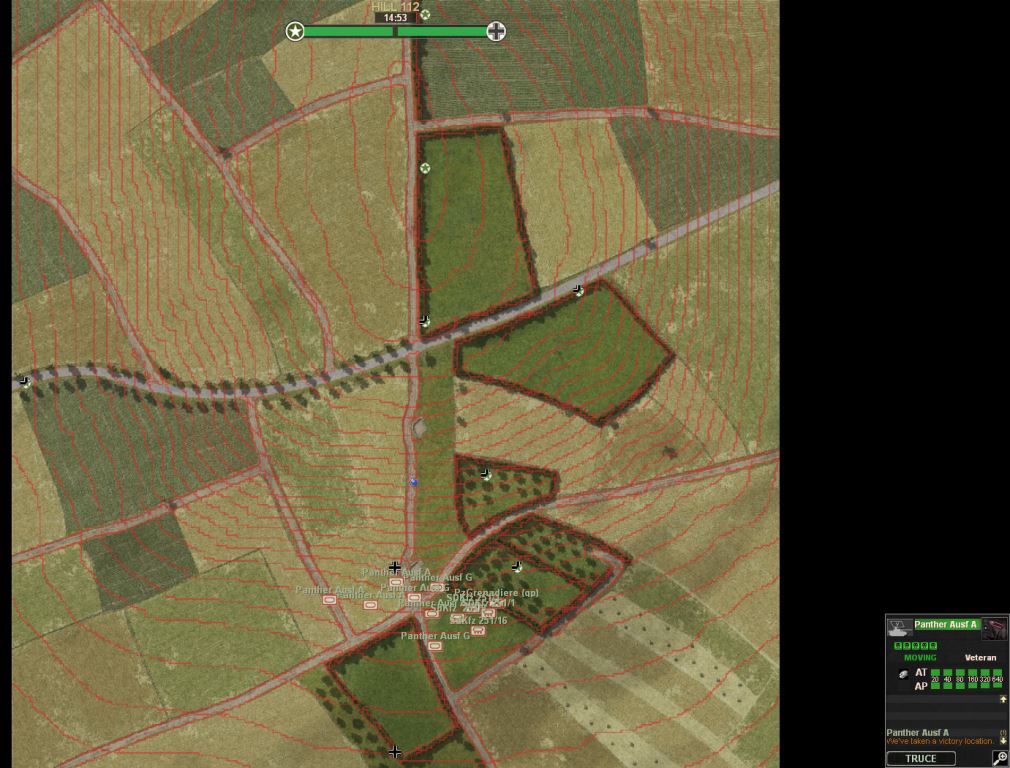
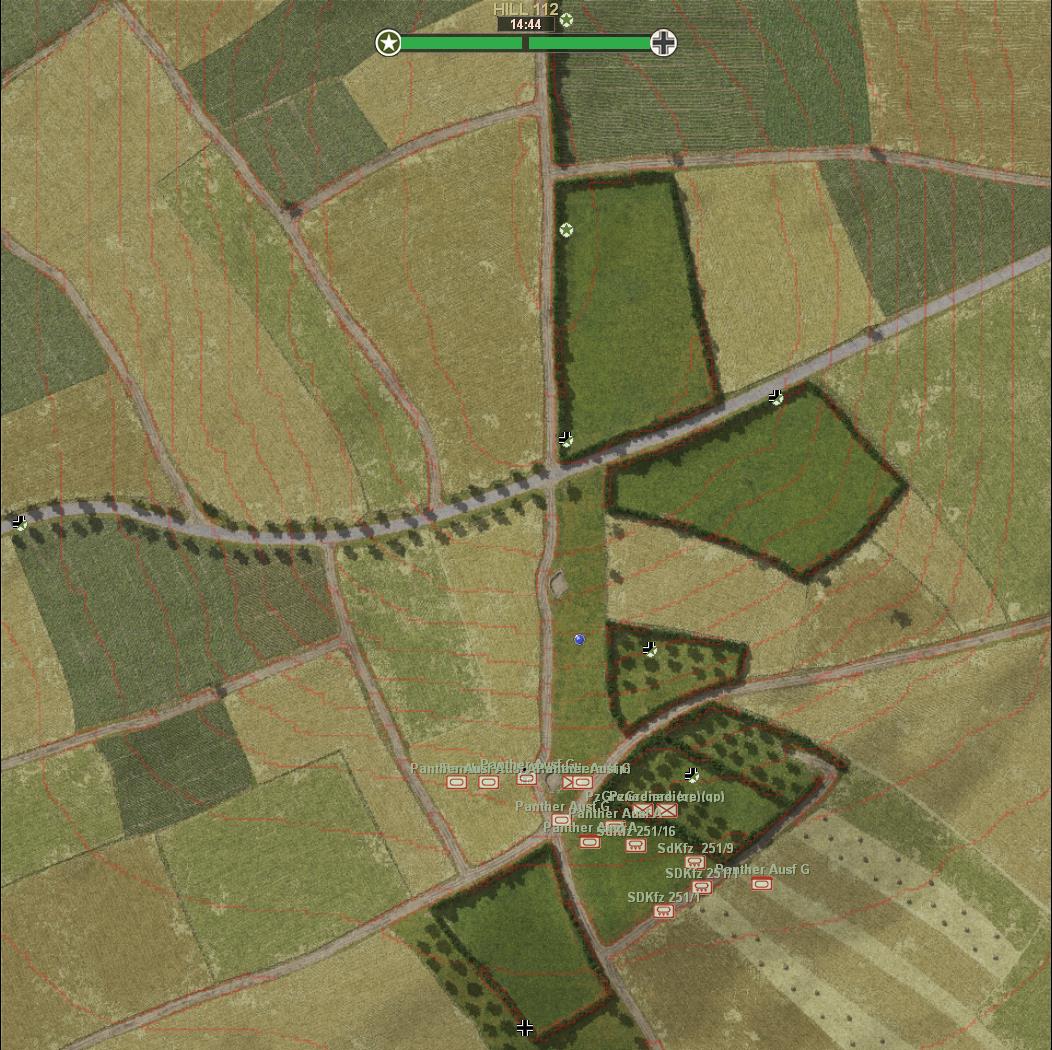
| Hill 112 red contours.jpg | ||
| Description: |
|
|
| Filesize: | 125.82 KB | |
| Viewed: | 10808 Time(s) | |
 |
||
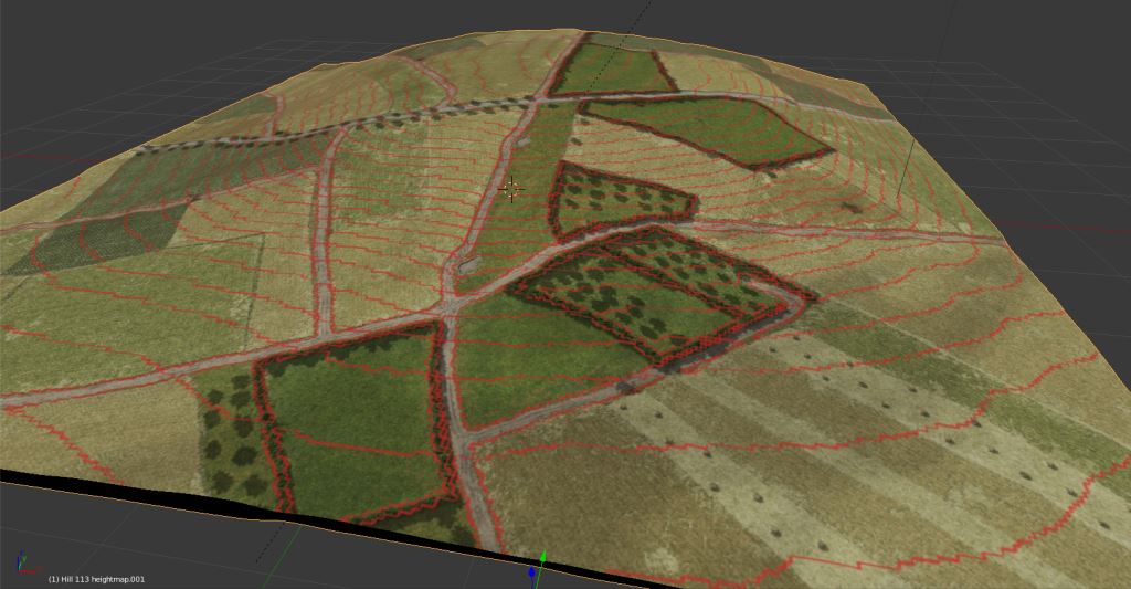
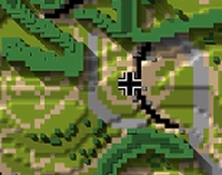
| Hill 112 3D red contours.jpg | ||
| Description: |
|
|
| Filesize: | 80.78 KB | |
| Viewed: | 10808 Time(s) | |
 |
||
| 1m pr contour.jpg | ||
| Description: |
|
|
| Filesize: | 203.95 KB | |
| Viewed: | 10788 Time(s) | |
 |
||
| ScnelleMeyer wrote (View Post): |
| ...Even if 3D with contours could be done:D |
| q3d.jpg | ||
| Description: |
|
|
| Filesize: | 30.95 KB | |
| Viewed: | 10751 Time(s) | |
 |
||
| mick_xe5 wrote (View Post): | ||
|
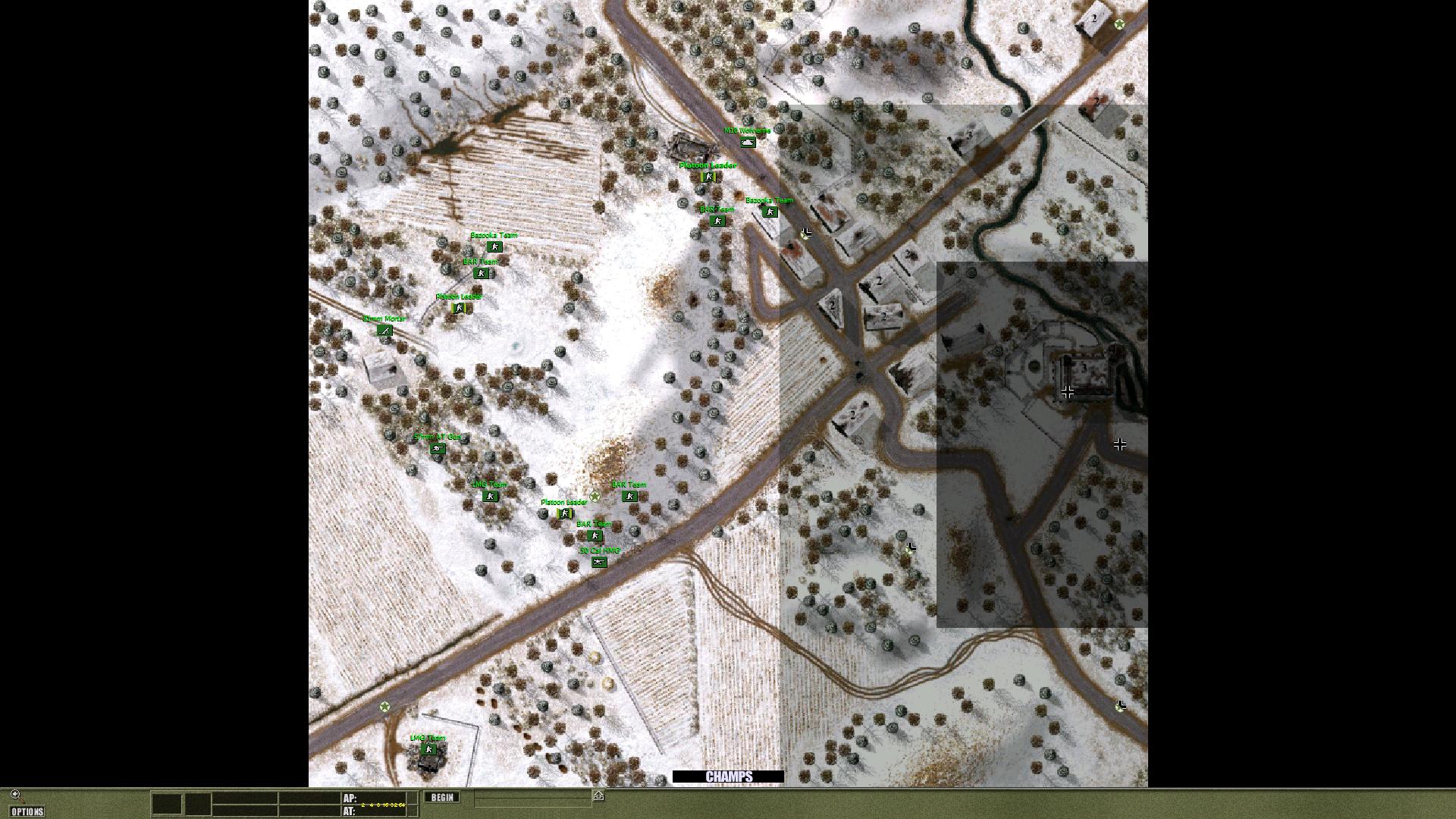
| UO0035.jpg | ||
| Description: |
|
|
| Filesize: | 333.35 KB | |
| Viewed: | 10703 Time(s) | |
 |
||
| ScnelleMeyer wrote (View Post): |
|
I like them as they are and have no problem understanding where the depressions and hills are, but I guess I am fortunate to have read maps a great deal in real army life:D |
| platoon_michael wrote (View Post): |
|
Also maybe change the lines to depict a rise or fall based on the color of the lines you make.
Say Red is rise Green depicts a slope Again your scale can be deciphered on the side of the .OVM with a little bit of Photoshop help. |
| platoon_michael wrote (View Post): |
|
I understand
Its your work........not mine |
| platoon_michael wrote (View Post): |
| Your point in doing this is to make it easier for people who Don't know the maps.......Correct? |
output generated using printer-friendly topic mod. All times are GMT