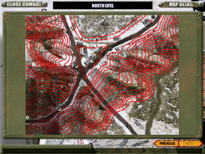
| North Eifel Contour ovm.png | ||
| Description: |
|
|
| Filesize: | 734.34 KB | |
| Viewed: | 10740 Time(s) | |
 |
||
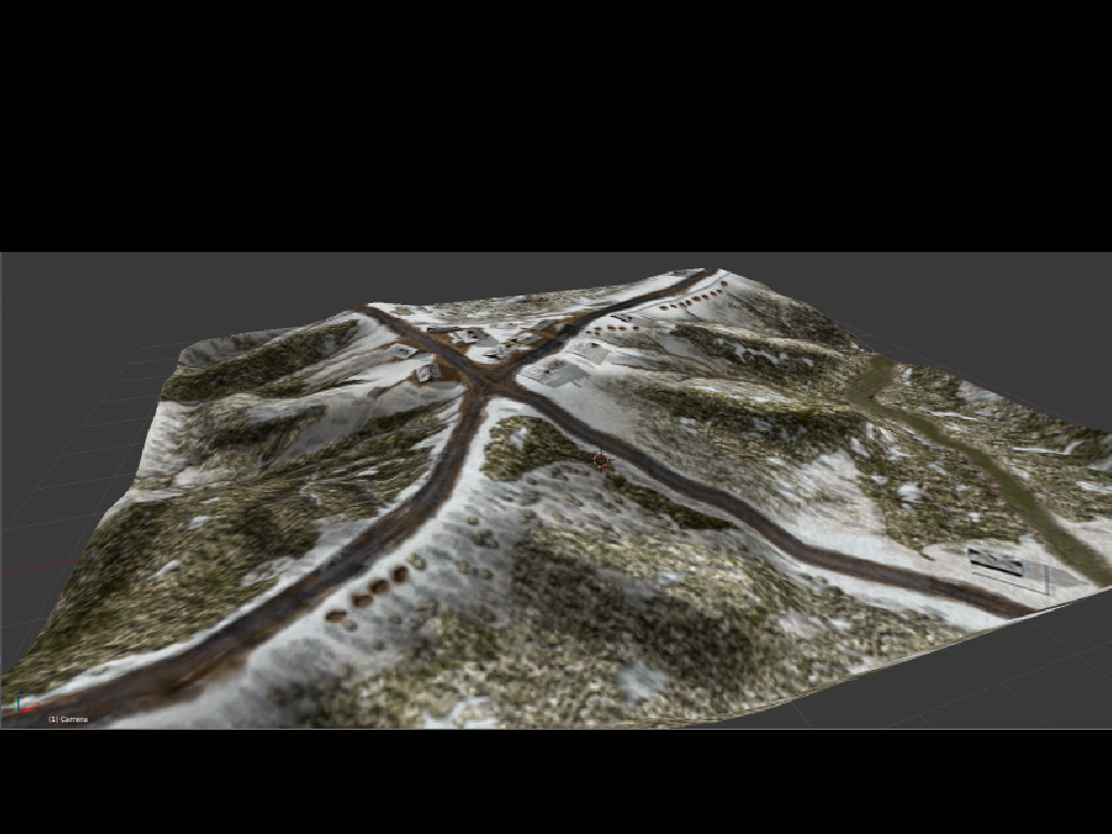
| 3d Eifel.png | ||
| Description: |
|
|
| Filesize: | 503.64 KB | |
| Viewed: | 10732 Time(s) | |
 |
||
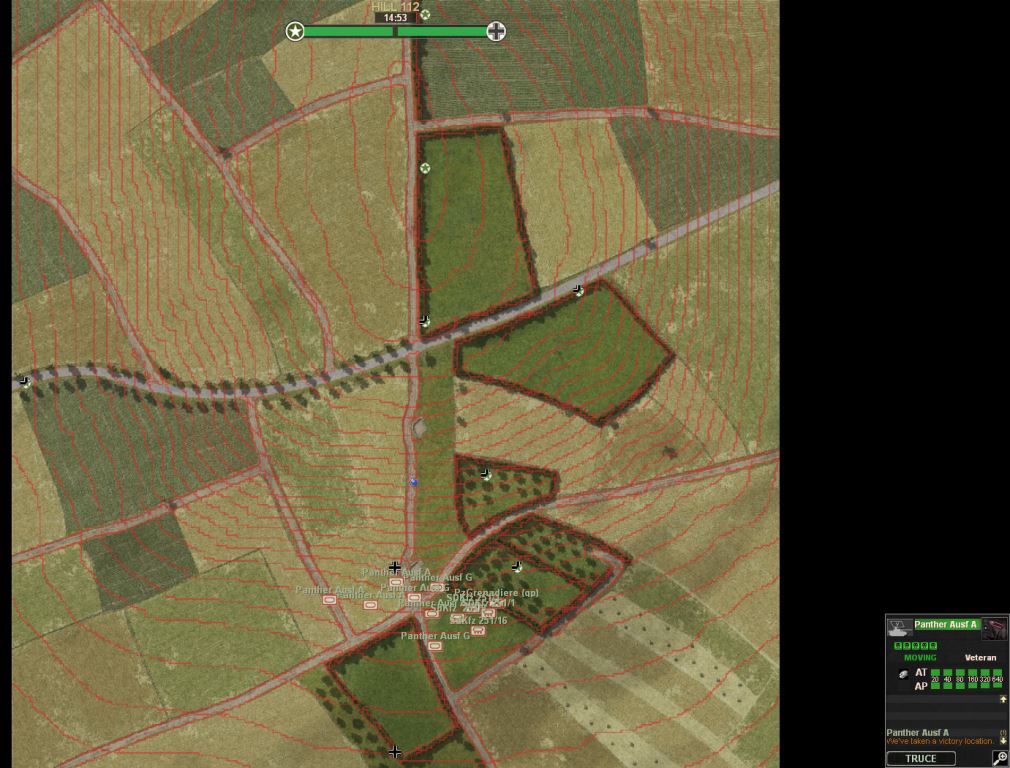
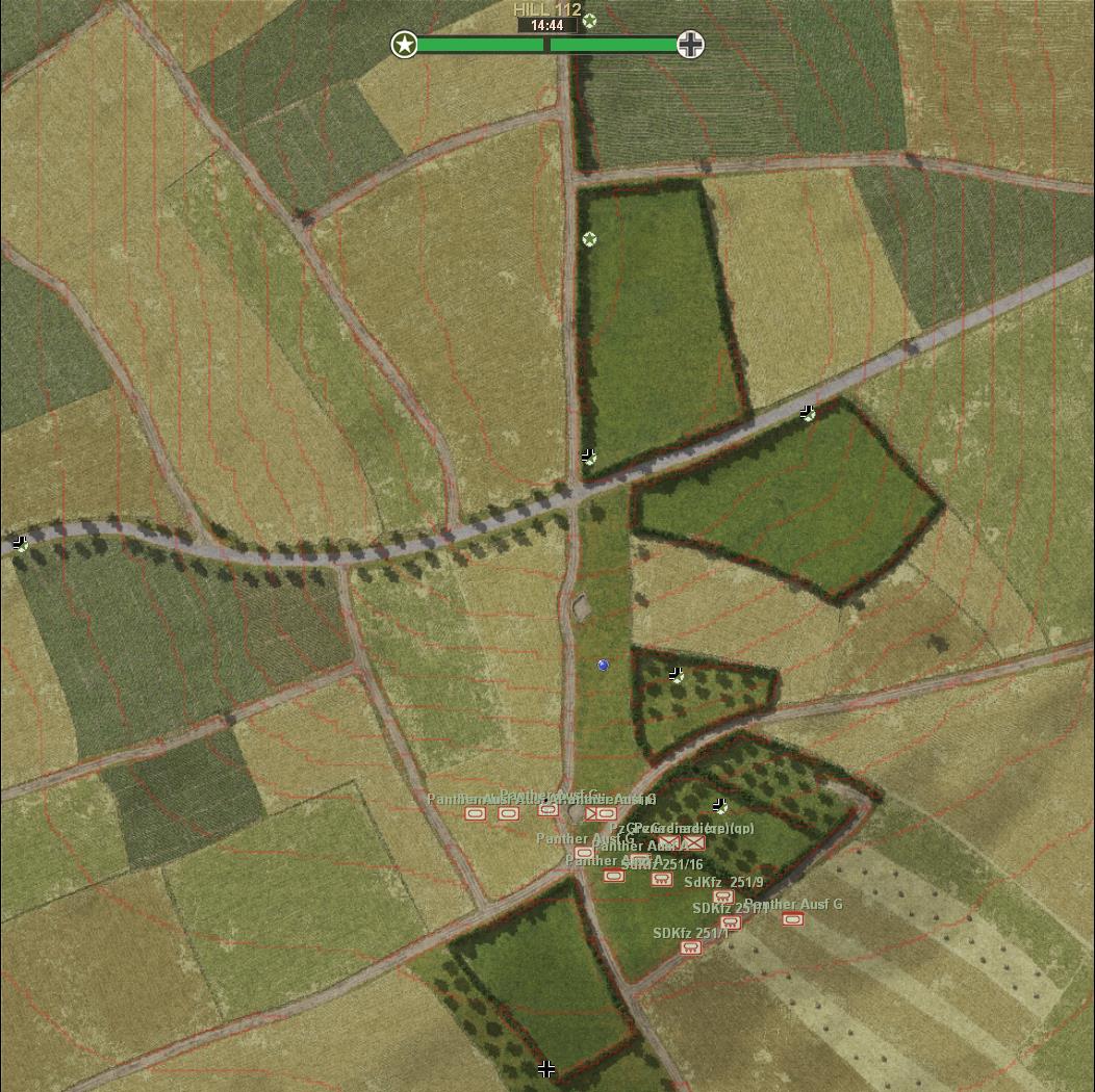
| Hill 112 red contours.jpg | ||
| Description: |
|
|
| Filesize: | 125.82 KB | |
| Viewed: | 10705 Time(s) | |
 |
||
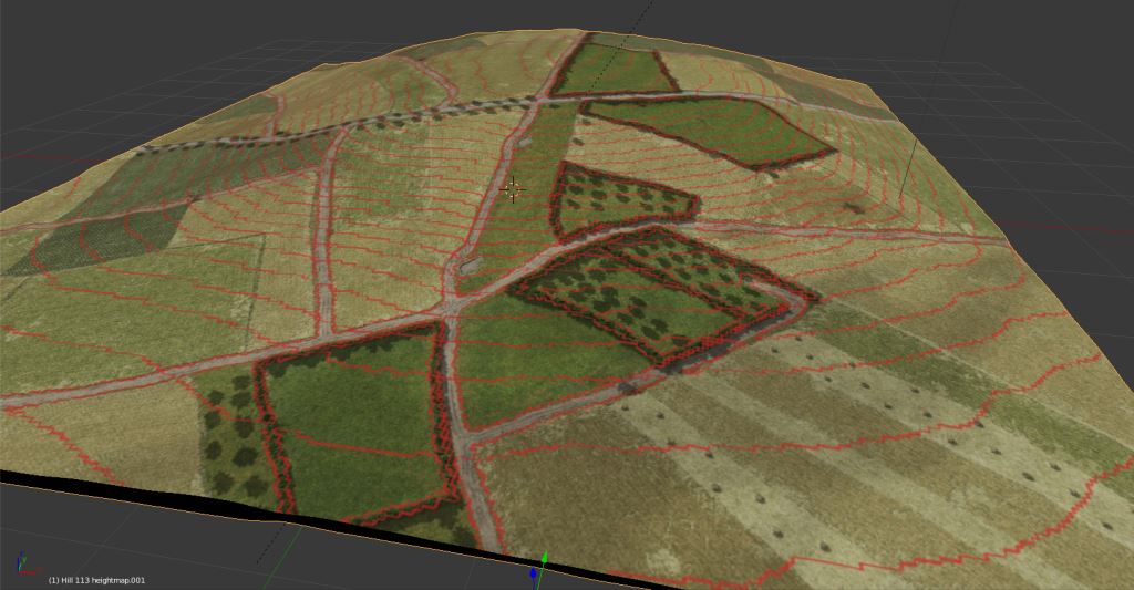
| Hill 112 3D red contours.jpg | ||
| Description: |
|
|
| Filesize: | 80.78 KB | |
| Viewed: | 10705 Time(s) | |
 |
||
| 1m pr contour.jpg | ||
| Description: |
|
|
| Filesize: | 203.95 KB | |
| Viewed: | 10685 Time(s) | |
 |
||
| ScnelleMeyer wrote (View Post): |
| ...Even if 3D with contours could be done:D |
| q3d.jpg | ||
| Description: |
|
|
| Filesize: | 30.95 KB | |
| Viewed: | 10648 Time(s) | |
 |
||
| mick_xe5 wrote (View Post): | ||
|
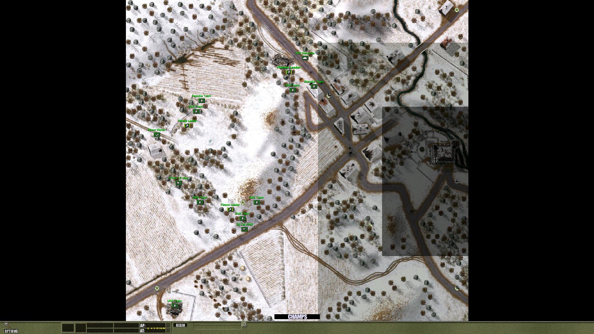
| UO0035.jpg | ||
| Description: |
|
|
| Filesize: | 333.35 KB | |
| Viewed: | 10600 Time(s) | |
 |
||
output generated using printer-friendly topic mod. All times are GMT