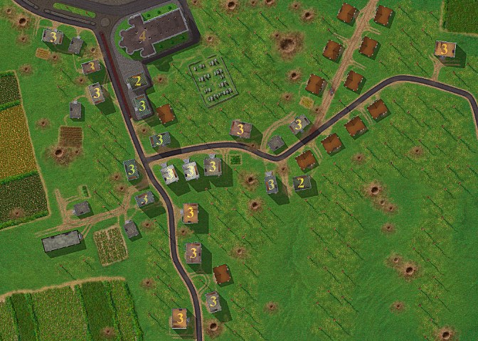
| M131 Driel.JPG | ||
| Description: |
|
|
| Filesize: | 126.13 KB | |
| Viewed: | 2553 Time(s) | |
 |
||
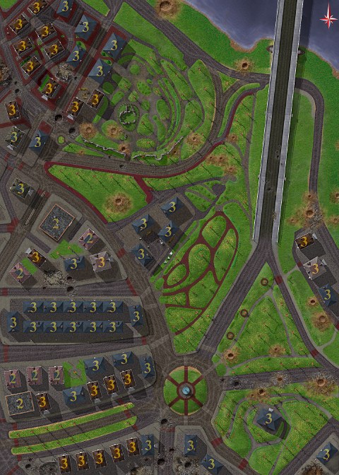
| M211 Nijmegen.JPG | ||
| Description: |
|
|
| Filesize: | 123.55 KB | |
| Viewed: | 2553 Time(s) | |
 |
||
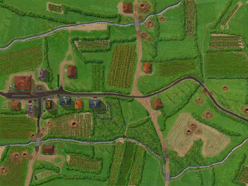
| M320 Schjindel.JPG | ||
| Description: |
|
|
| Filesize: | 192.63 KB | |
| Viewed: | 2553 Time(s) | |
 |
||
| Atomic map making CC2.zip | |||
| Description: |
|
Download |
|
| Filename: | Atomic map making CC2.zip | ||
| Filesize: | 473.05 KB | ||
| Downloaded: | 284 Time(s) | ||
output generated using printer-friendly topic mod. All times are GMT