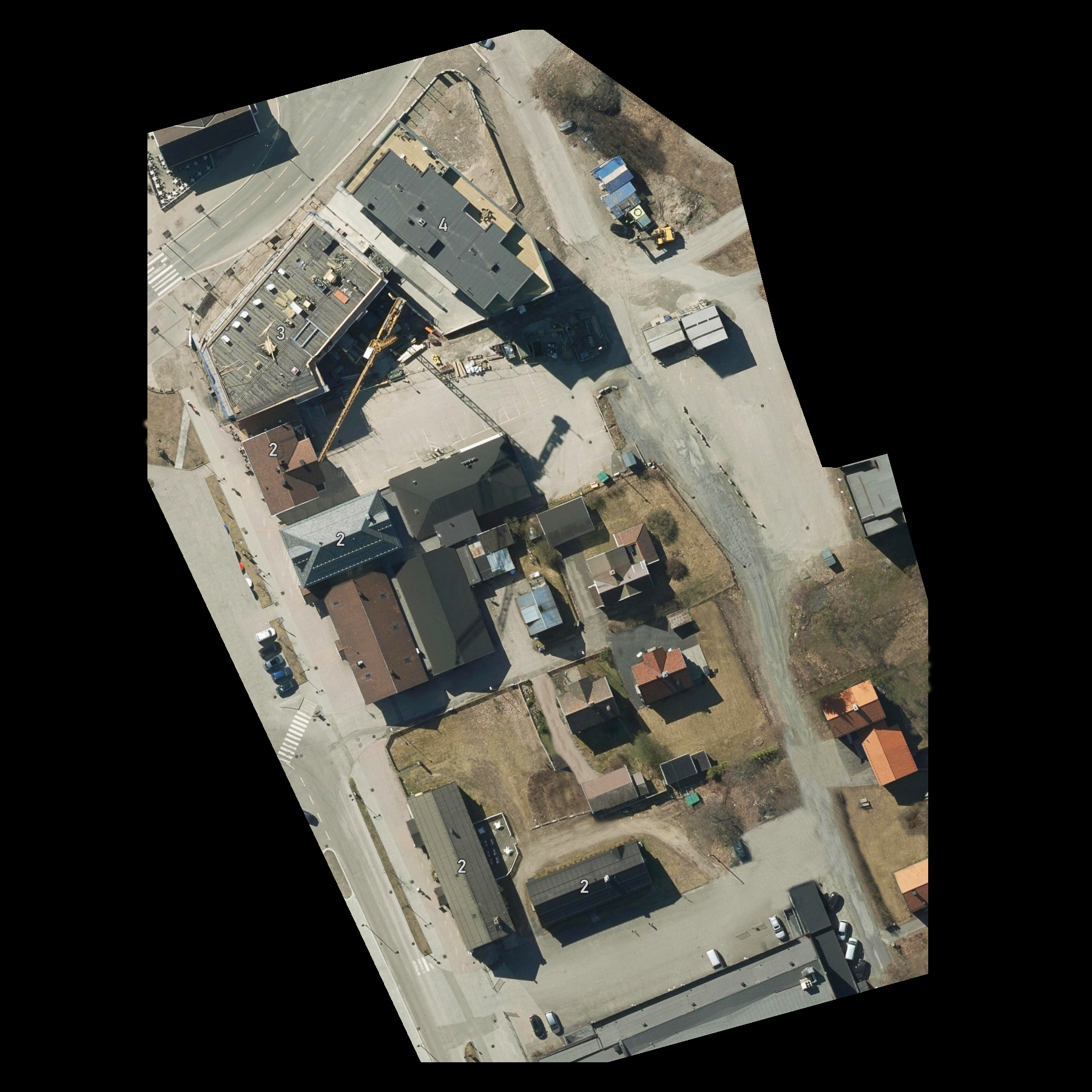
| Urban map.jpg | ||
| Description: |
|
|
| Filesize: | 1.37 MB | |
| Viewed: | 1025 Time(s) | |
 |
||
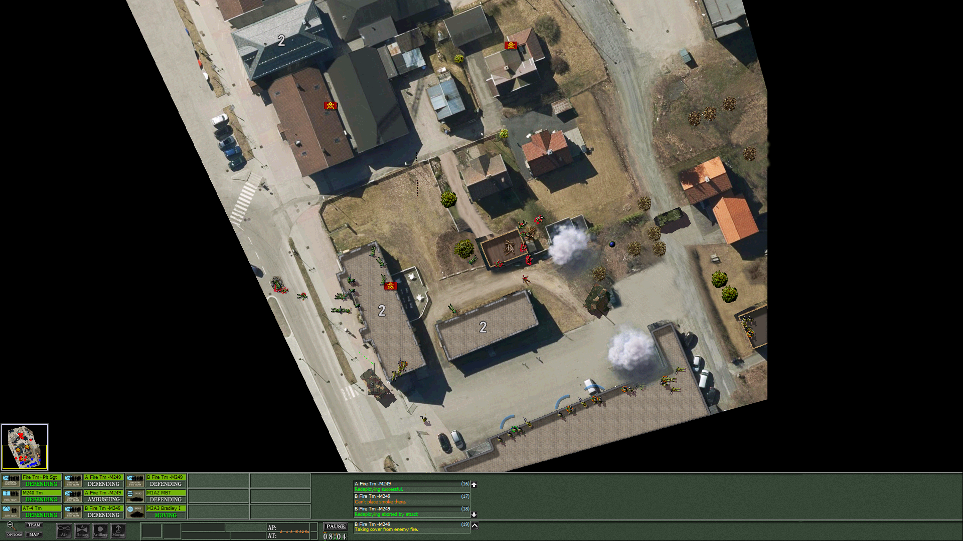
| Platoon battle.png | ||
| Description: |
|
|
| Filesize: | 1.23 MB | |
| Viewed: | 1025 Time(s) | |
 |
||
output generated using printer-friendly topic mod. All times are GMT