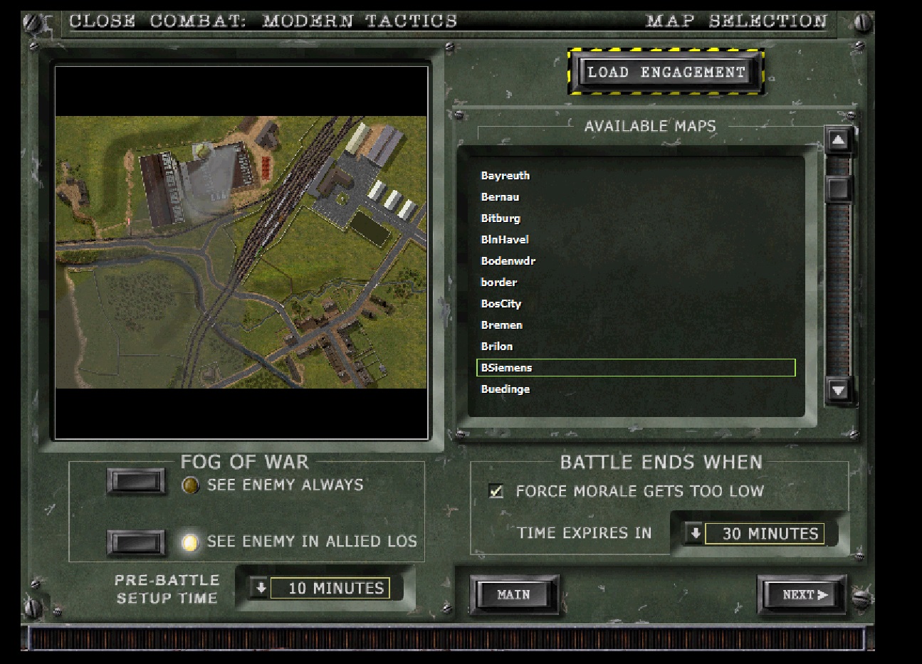
| A.jpg | ||
| Description: |
|
|
| Filesize: | 36.26 KB | |
| Viewed: | 1297 Time(s) | |
 |
||
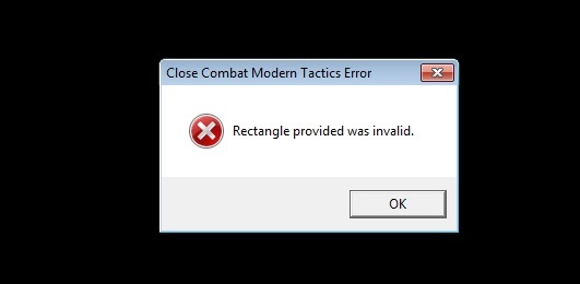
| B.jpg | ||
| Description: |
|
|
| Filesize: | 136.67 KB | |
| Viewed: | 1297 Time(s) | |
 |
||
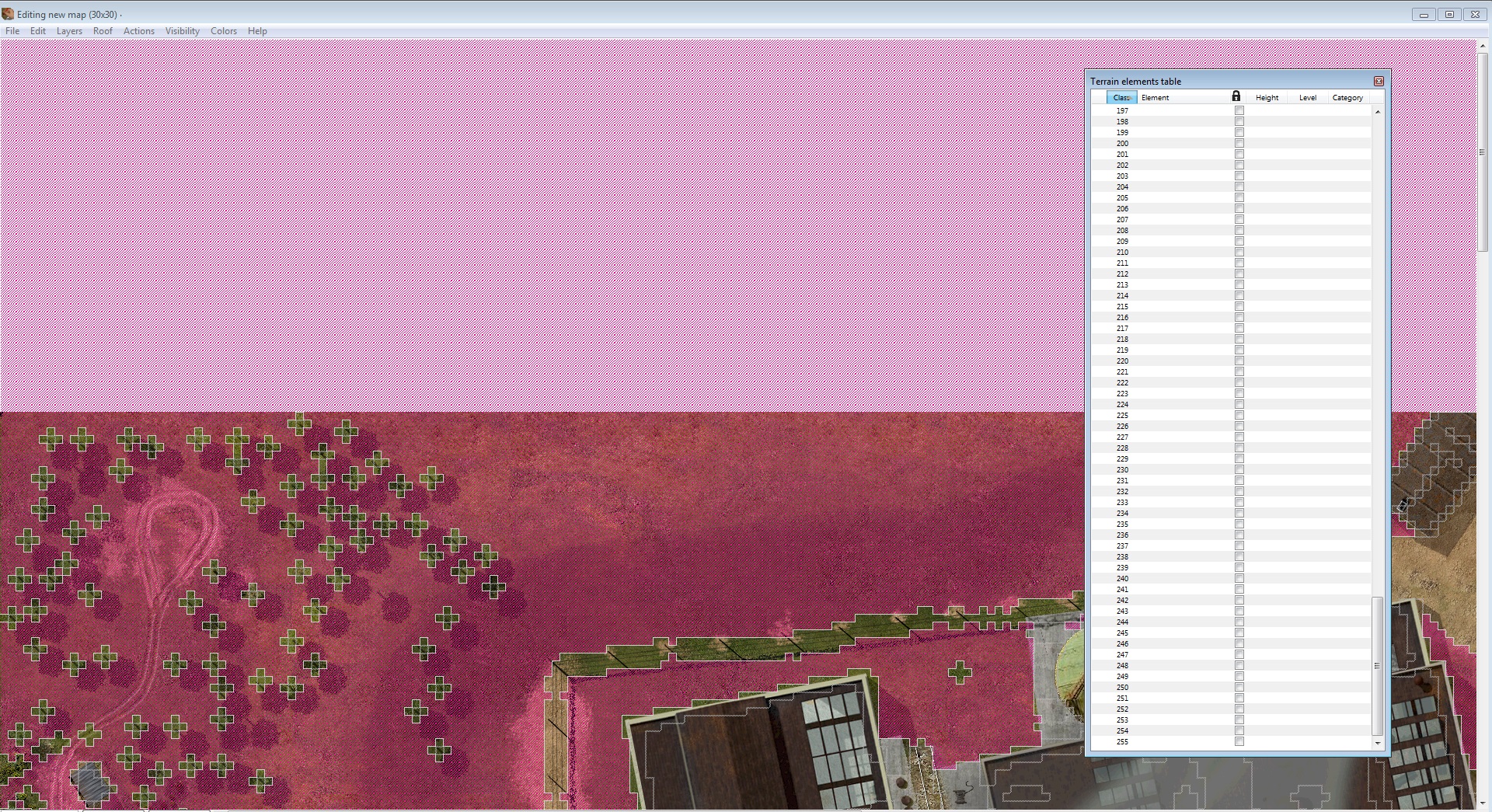
| C.jpg | ||
| Description: |
|
|
| Filesize: | 145.09 KB | |
| Viewed: | 1297 Time(s) | |
 |
||
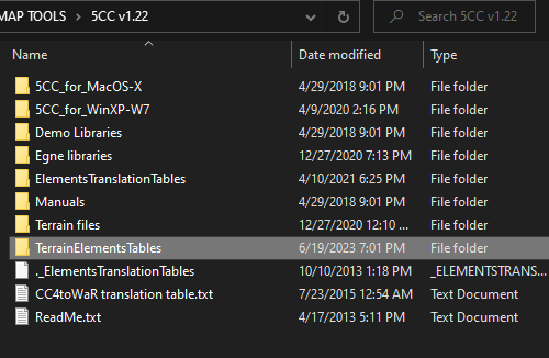
| D.jpg | ||
| Description: |
|
|
| Filesize: | 151.23 KB | |
| Viewed: | 1297 Time(s) | |
 |
||
| F.jpg | ||
| Description: |
|
|
| Filesize: | 393.59 KB | |
| Viewed: | 1297 Time(s) | |
 |
||
| G.jpg | ||
| Description: |
|
|
| Filesize: | 14.54 KB | |
| Viewed: | 1297 Time(s) | |
 |
||
| TXT BSIEMENS MAP and My question (Adobe).rar | |||
| Description: |
|
Download |
|
| Filename: | TXT BSIEMENS MAP and My question (Adobe).rar | ||
| Filesize: | 381.52 KB | ||
| Downloaded: | 34 Time(s) | ||
| stratweg wrote (View Post): |
|
Ok, thanks
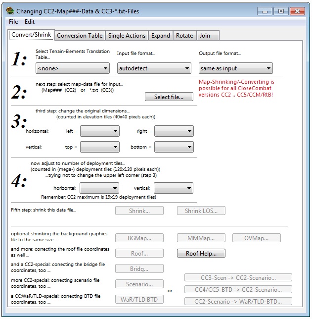
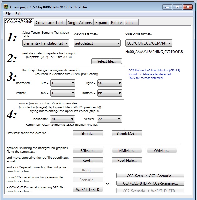
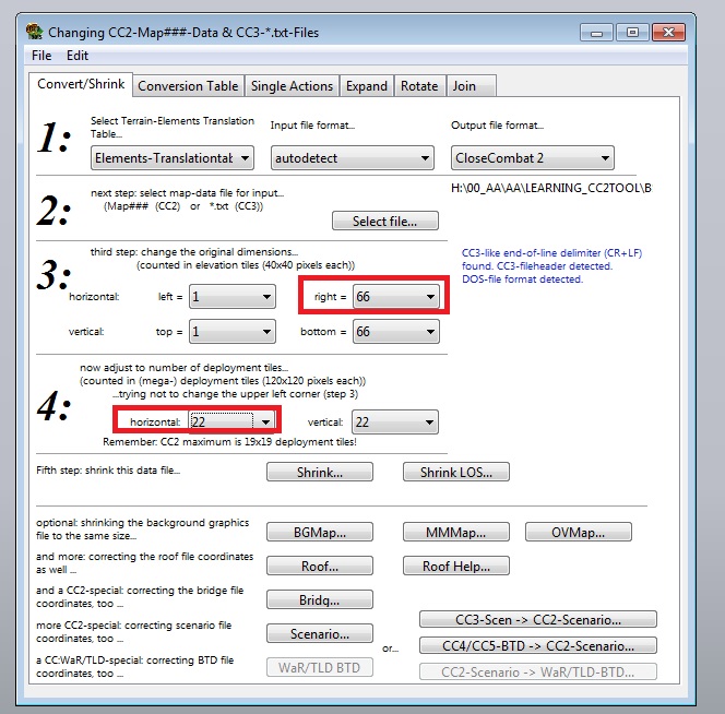
STEP 1 to 3 = ok. By “LOAD”, what do you means exactly ? To load only the txt or to import in addition after that all files (OMV,MMM,BGM, etc) : there are lot if buttons and choice is not clear at all I tried to load only the txt but at the end I get not all the files In the doubt, I load the txt first, and after I import all other files (OVM, BGM, etc) with the import command At the beginning, it’s better to have explanation step by step : to interpret buttons in a foreign language is not so evident There is a french manual with the 5CC download - you should be able to learn about the programme from there if anything is unclear after this. Just load the text file - every other file of the map will load too if they are located in the same folder as the text file. STEP 4 : More informations needed, please : why 48 ? I would have generic information= is it always needed to add 48 to have a 90x90 maps ? Or does it depends of the coordinates of original map. In this last case, why 48 ? Because it is the double of 24 ? (90-66=24) ? For another (unknow of me) reason ? There is something I would like to understand in generic way to have a general understanding of the process, to be able to reproduce it with other maps Logically, if I add 48 at the top and 48 at the button, it means I add 96 to 66 (vertical coordinates of the original map )= 162. But if I verify the new map, the txt indicates 90 90. How is it possible ? And if the original 66 are not counted, it means that I set the map + 48 at top and + 48 at bottom = 96. How is it possible to have then a 90 x 90 map ? What is the logical reason to enter 48 : 1/ For this map ? 2/ For all maps ? This is explained in the manual for 5CC, but in short: each map consists of Deployment tiles of 120x120 pixels, these are divided into 40x40 pixel elevation tiles, and then again into Terrain tiles of 10x10 pixels. 5CC informs you in the "data action" meny about how many deployment tiles the loaded map is. For BSiemens map its 30 x 22. This means Its missing 8 Deployment tiles on the short side to become square. 8 deployment tiles x120 = 960 pixels. In the data action menu you set the number of terrain tiles, so 960/10 = 96. And to make the map look centered we divide this by 2 so we get 48 terrain tiles on top and 48 on the bottom. STEP 5 : Where is the correct button to do that (BGM color), please : there are a lot, and without not intuitive sense for me : is it TERRAIN ? TERRAIN AUTO MODE ? BGM actions ? etc Nothing seems intuitive in this program when you begin. And in addition, pb of foreign language… I saw that in terrain autocode, I can use the 3 bars level with your 323 code = ok I suppose it is what you means by “using code 323”. But by example, it would have been more clear to say : in TERAIN AUTO CODE, use the 3 level barres to have 323 code And after “coding “, please ? What options have to be choiced ? There are lot of options and checked box in the windows : what boxes must be stay checked or un checked ? Each time I do a false test, I have to reload again the program and it needs lot of time : all have to be restart from the first beginning. Better would be to have a more clear informations step by step about the process to have a clear idea on how it works : I don’t know anything about this program STEP 6 : When I go to "FILES" and I click on GENERATE LOS, the progamme says :"NOT ELEMENT TERRAIN FILES LOADED, GENERALE LOS IMPOSSIBLE = Some step seems to miss. How to do load ELEMENT TERRAINS FILES ? If you have no time to give detailed process, ok : no pb with that, I understand and I will not try to resize maps, and that’s all But if you want to help, please : give me the clear process, because the program has a great number of buttons and their sense is absolutely no clear at all (and in addition, in English language). I suppose that a english moder would have same difficulties as I have if he would want to mod a game in french language with a tool wrtitten in french. Impossible mission for him, I think : the 2 language have too different semantic logic. And it is a know world information that lot of frenchies (I am unfortunatly one of them Damned crazy language ! EDIT : Concerning that : Also why do you want to cut parts of the map? -Isnt it better to keep as much of the map as possible and rather add to it to make it square? - I think so. You are entirely right, but I did not know it was possible to do that sort of thing : I though it was necessary to sacrify a part of highest coordinates EDIT : I finally founded the victory objectives (unzoom map) I searched : Localization of files is here http://www.closecombatseries.net/CCS/modules.php?name=Forums&file=viewtopic&p=94673#94673 |
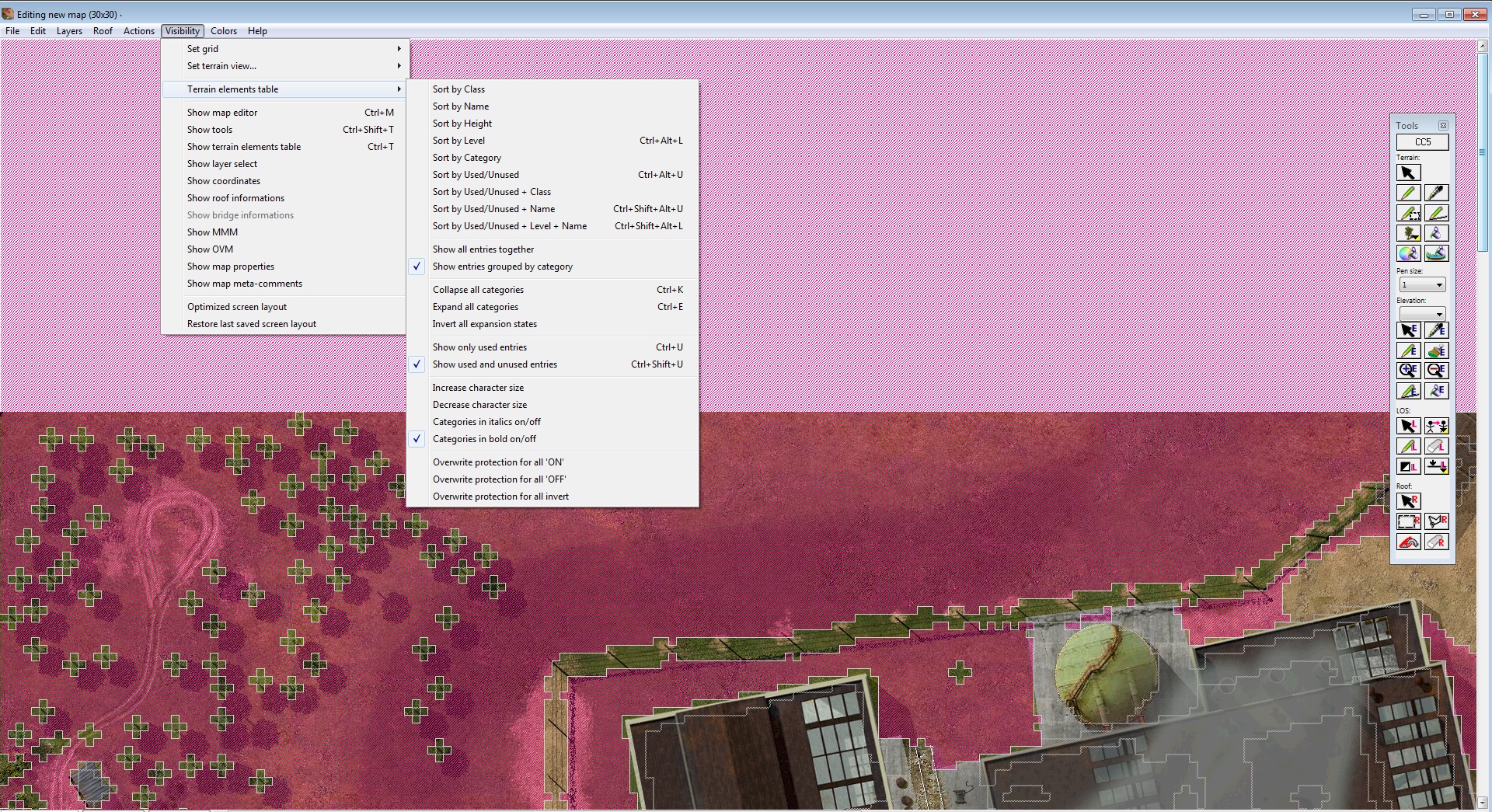
| SCREEN.jpg | ||
| Description: |
|
|
| Filesize: | 1.36 MB | |
| Viewed: | 1146 Time(s) | |
 |
||
| stratweg wrote (View Post): |
|
This precision seems important, effectivly. But I have no any logic indications about step : before to lunch the map data txt ? After ? And each time I try to import or load the concerned file (translation table CC5 to CCMT) I receive a error message that say to me this file imput is not a valid file. |
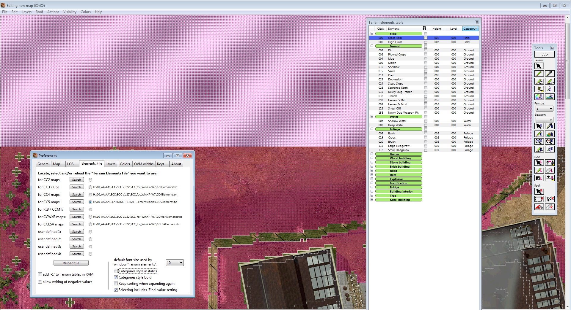
| Elements tables.PNG | ||
| Description: |
|
|
| Filesize: | 21.38 KB | |
| Viewed: | 1112 Time(s) | |
 |
||
| Tools panel and loading elements file.PNG | ||
| Description: |
|
|
| Filesize: | 65.21 KB | |
| Viewed: | 1110 Time(s) | |
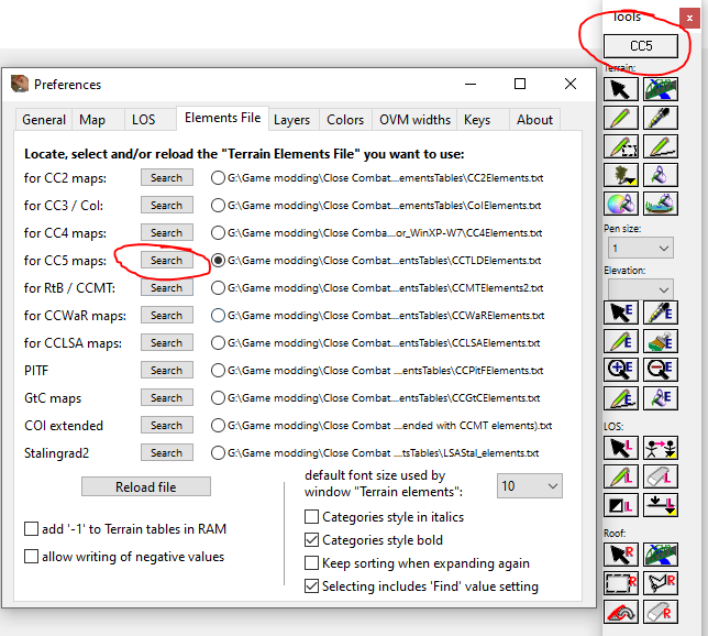 |
||
| SCREEN2.jpg | ||
| Description: |
|
|
| Filesize: | 1.34 MB | |
| Viewed: | 1068 Time(s) | |
 |
||
| SCREEN.jpg | ||
| Description: |
|
|
| Filesize: | 1.23 MB | |
| Viewed: | 1077 Time(s) | |
 |
||
output generated using printer-friendly topic mod. All times are GMT