| davidssfx wrote (View Post): |
|
Should high resolution aerial photographs of actual battlefield sites be used in the next generation of CC, and use similar realistic textures to update the map to resemble it historically?
A high resolution aerial was used in the recently released D-Day Brecourt mod for CC3. The aerial was taken from a helicopter from about 1000 feet overhead, and imported to CC3 with several minor photoshop changes. Although some things weren't able to be realized to completion ... it does give you a base from which to establish an opinion. |
| DAK_Legion wrote (View Post): |
|
Hi Sbufkle!
we need maps as GHAZWAH |
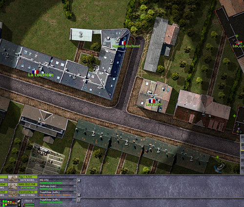
| Photo realistic.jpg | ||
| Description: |
|
|
| Filesize: | 170.23 KB | |
| Viewed: | 7377 Time(s) | |
 |
||
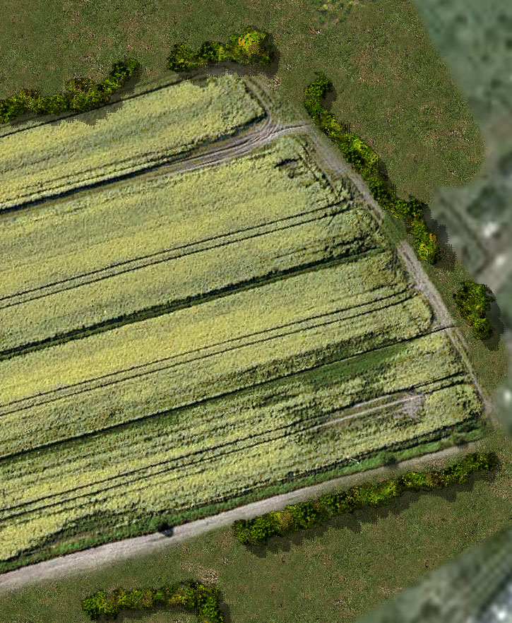
| Photo realistic 2.jpg | ||
| Description: |
|
|
| Filesize: | 314.63 KB | |
| Viewed: | 7347 Time(s) | |
 |
||
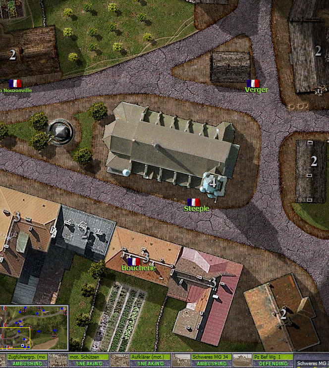
| more photos.jpg | ||
| Description: |
|
|
| Filesize: | 256.95 KB | |
| Viewed: | 7516 Time(s) | |
 |
||
| southern_land wrote (View Post): |
| I like semi photorealistic |
| davidssfx wrote (View Post): |
|
Should high resolution aerial photographs of actual battlefield sites be used in the next generation of CC, and use similar realistic textures to update the map to resemble it historically?
A high resolution aerial was used in the recently released D-Day Brecourt mod for CC3. The aerial was taken from a helicopter from about 1000 feet overhead, and imported to CC3 with several minor photoshop changes. Although some things weren't able to be realized to completion ... it does give you a base from which to establish an opinion. |
| southern_land wrote (View Post): |
| I like semi photorealistic |
output generated using printer-friendly topic mod. All times are GMT