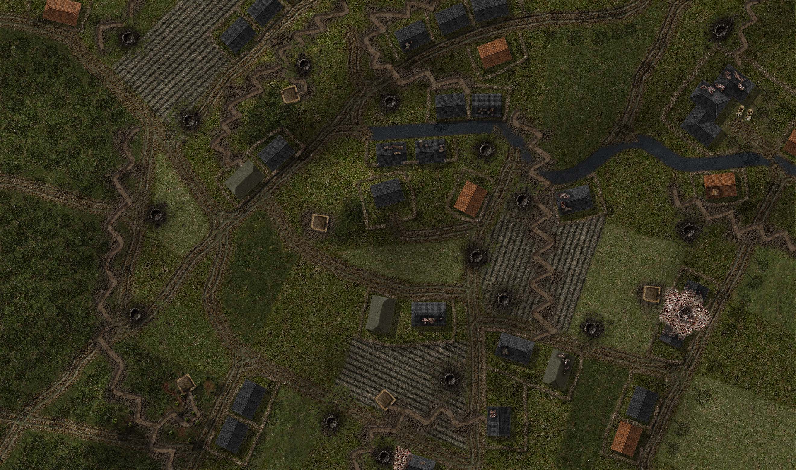
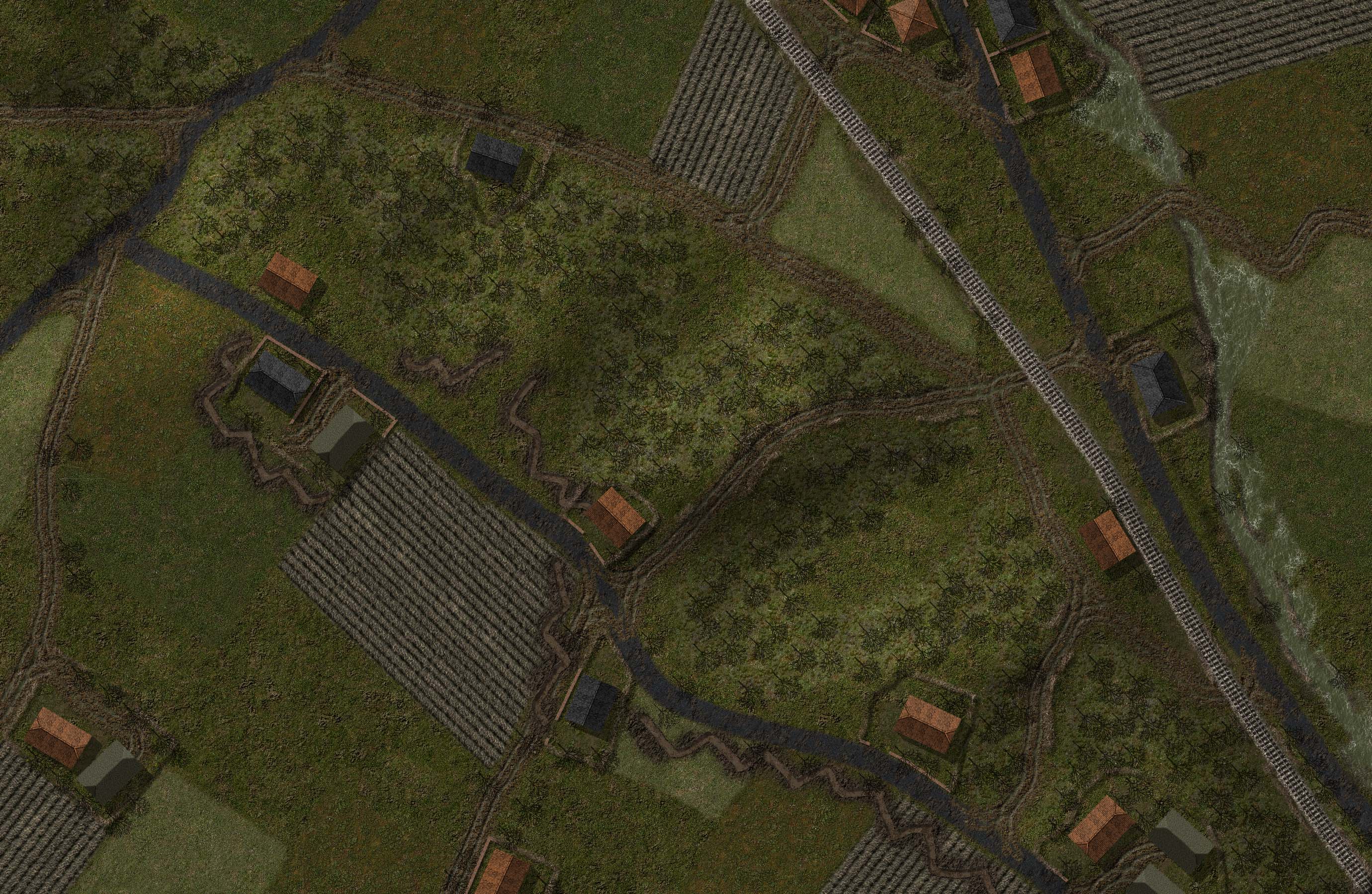
| Reichswald North.jpg | ||
| Description: |
|
|
| Filesize: | 628.31 KB | |
| Viewed: | 15526 Time(s) | |
 |
||
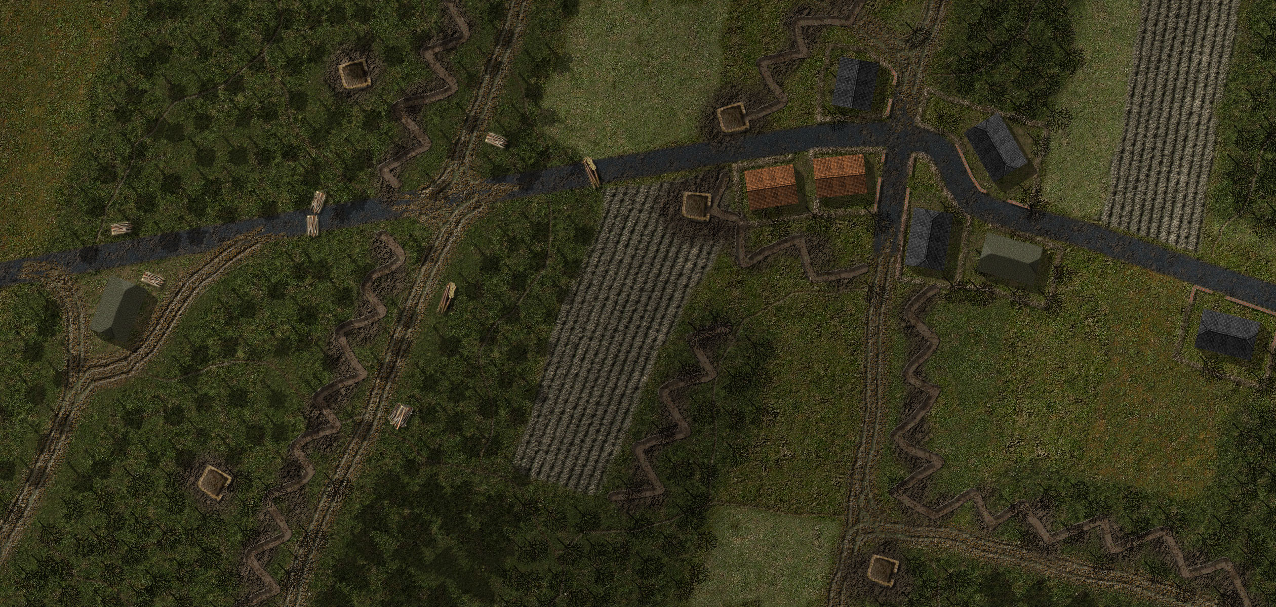
| Reichswald South.jpg | ||
| Description: |
|
|
| Filesize: | 966.56 KB | |
| Viewed: | 15526 Time(s) | |
 |
||
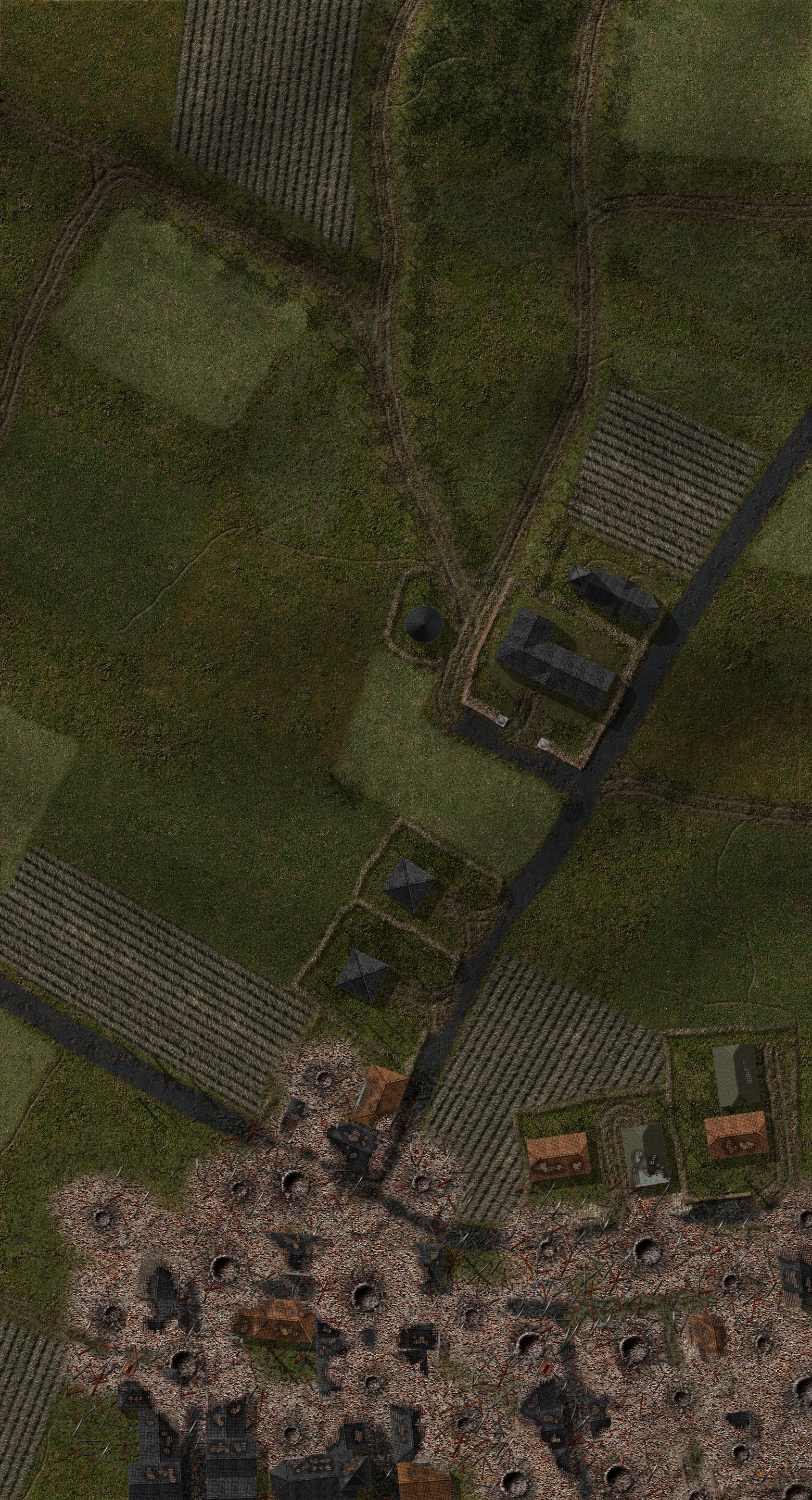
| Kleve-Gennep Road.jpg | ||
| Description: |
|
|
| Filesize: | 487.11 KB | |
| Viewed: | 15520 Time(s) | |
 |
||
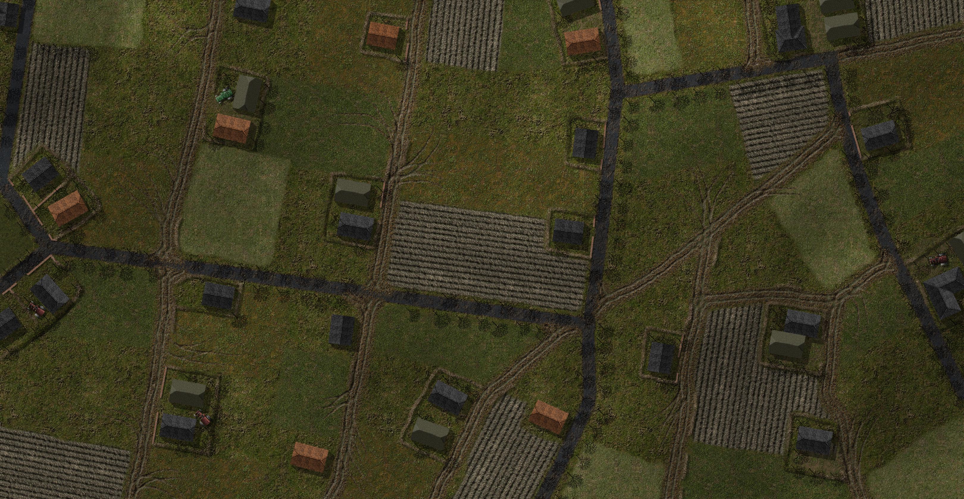
| Hekkens.jpg | ||
| Description: |
|
|
| Filesize: | 604.91 KB | |
| Viewed: | 15520 Time(s) | |
 |
||
| Materborn Gap.jpg | ||
| Description: |
|
|
| Filesize: | 908.7 KB | |
| Viewed: | 15516 Time(s) | |
 |
||
| Bonninhart Forst.jpg | ||
| Description: |
|
|
| Filesize: | 1.15 MB | |
| Viewed: | 15438 Time(s) | |
 |
||
| Sonsbeck.jpg | ||
| Description: |
|
|
| Filesize: | 1.77 MB | |
| Viewed: | 15438 Time(s) | |
 |
||
| Goch-Calcar Road.jpg | ||
| Description: |
|
|
| Filesize: | 1.8 MB | |
| Viewed: | 15438 Time(s) | |
 |
||
| Calcar Ridge.jpg | ||
| Description: |
|
|
| Filesize: | 1.16 MB | |
| Viewed: | 15438 Time(s) | |
 |
||
output generated using printer-friendly topic mod. All times are GMT