| yukongold wrote:
|
|
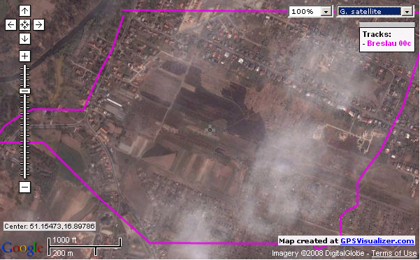
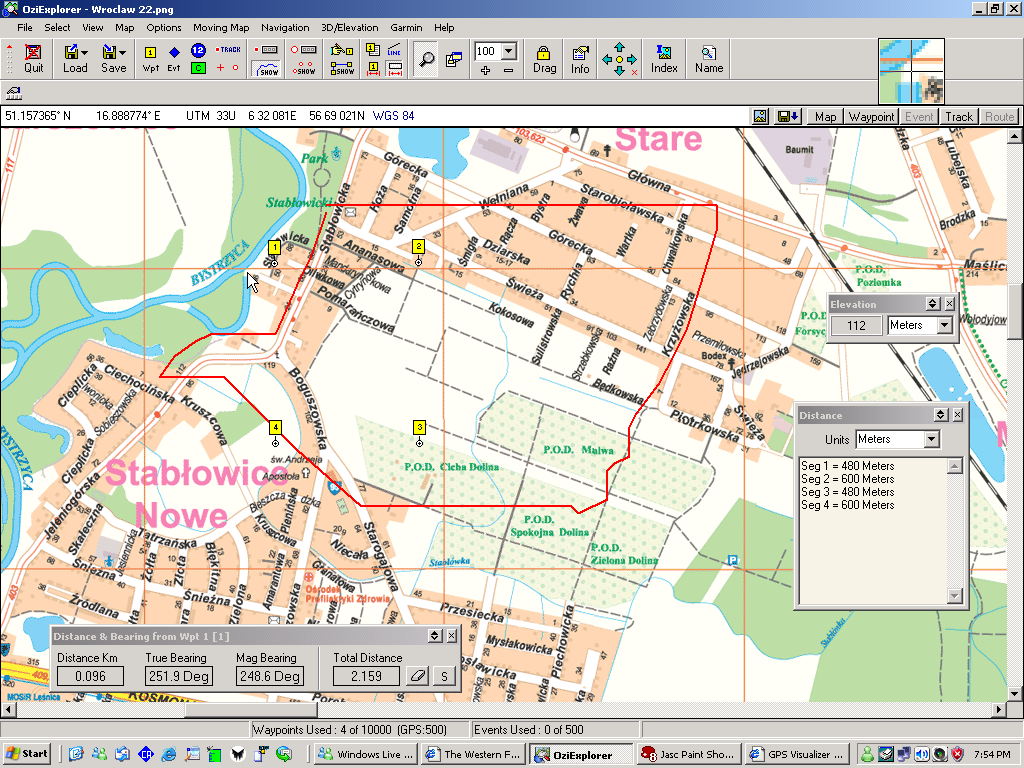
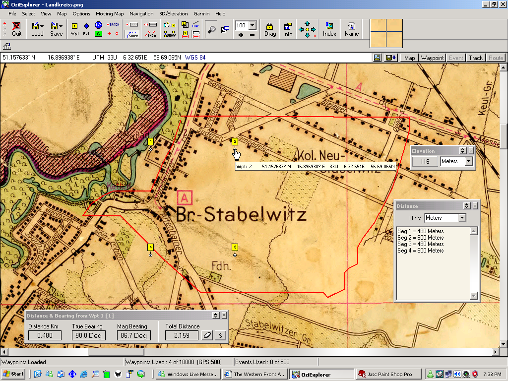
The next step then is to make a blank map of that size and geo-reference the corners with the same co-ordinates as the waypoints. Then it is a matter of tracing the roads, buildings and other features on the historic map, and transfering them onto the blank map. The end result is a pretty nice template to start working on. If I allow a little extra on the track logs the template can be moved some in the event that the VLs need a bit of relocation. A 120 pixel grid should be helpful for checking that.
|